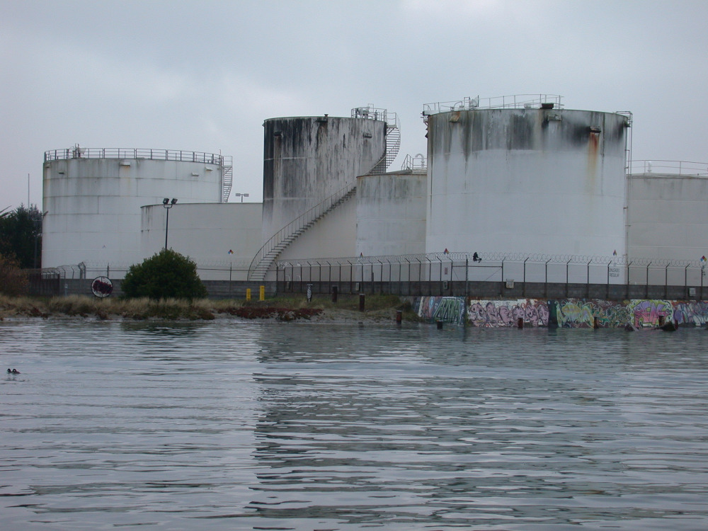
The highest tides this winter - known as King Tides - will occur on Dec. 5, Dec. 22, Jan. 20, and Feb. 18. Humboldt Baykeeper volunteers will photo-document the King Tides around Humboldt Bay.
Photo: Chevron fuel tanks on the Eureka waterfront, 12-31-13.
All you need is a camera or a smartphone. To help document this year’s King Tide, email us at
On Jan. 20, the highest tide of 2014-15 is predicted to reach 8.36’ at the North Spit tide gage (and could be higher depending on rainfall, atmospheric pressure, and wind). Above-average high tides will also occur on Dec. 5 (8.05'), Dec. 22 (8.21’) and Feb. 18 (8.06’). By capturing images of these extreme high tides, scientists and planners hope to gain insight into how rising sea levels will impact coastal areas in the future. The King Tides Photo Initiative is a great opportunity for Citizen Scientists to contribute to a long-term dataset, while helping inform residents and decisionmakers about the need to plan for the coming changes to our natural and built environments.
Recommended locations to observe high tides include Halvorsen Park and the F Street boardwalk in Eureka, Woodley Island, the Mad River Slough Bridge on Highway 255 in Manila, Liscom Slough on Jackson Ranch Road in Arcata, Fields Landing and King Salmon. The tide levels in these locations vary in both height and peak time - check out NOAA’s tide predictions.
For more information about King Tides and sea level rise For more info on high tides, sea level rise and Humboldt Bay in particular, check out Humboldt Baykeeper’s sea level rise site; the Humboldt Bay Harbor, Recreation and Conservation District’s Humboldt Bay Sea Level Rise Adaptation Planning Project.
Photos from the 2013-14 King Tides are online at the Humboldt Bay King Tides Photo Initiative album.
For more info on shoreline vulnerability, inundation maps, and related issues, visit the Humboldt Bay Sea Level Rise Adaptation Planning Project website at www.http://humboldtbay.org.


